The Tail of the Dragon
March 4, 2022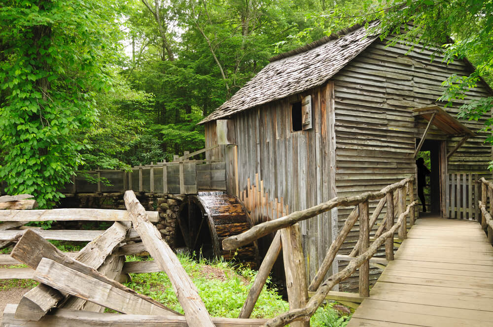
Cades Cove and Roaring Fork Motor Nature Trail
March 5, 2022Little River Road between Gatlinburg and Townsend, TN, is one of the many Smoky Mountain road trips our area provides to visitors who want to experience Smoky Mountain magical experience from the comfort of their vehicles. From the Townsend “Wye” to the “Sinks”, some of the more “Quiet Side of the Smokies” locations can be found on Little River Road. Starting at Wears Valley, between Pigeon Forge and Townsend, TN, you can get to Little River Road from the Metcalf Bottoms entrance of the National Park. Turn right and experience Townsend, Tennessee and Cades Cove, turn left and land in the Gatlinburg area of the Great Smoky Mountain National Park. It’s a lovely drive that recommend for visitors to consider doing when they visit in the Summer and a great item to consider for seeing the Smoky Mountain leaf color change in the Autumn.
GSMNP.com writes:
“Originally an old railroad, this 18-mile Smoky Mountain driving tour runs from the Sugarlands Visitor Center to the Cades Cove Loop Road. A relatively slow-go, the Little River Road meanders alongside (you guessed it) Little River, passing at one point the exit to Townsend TN.
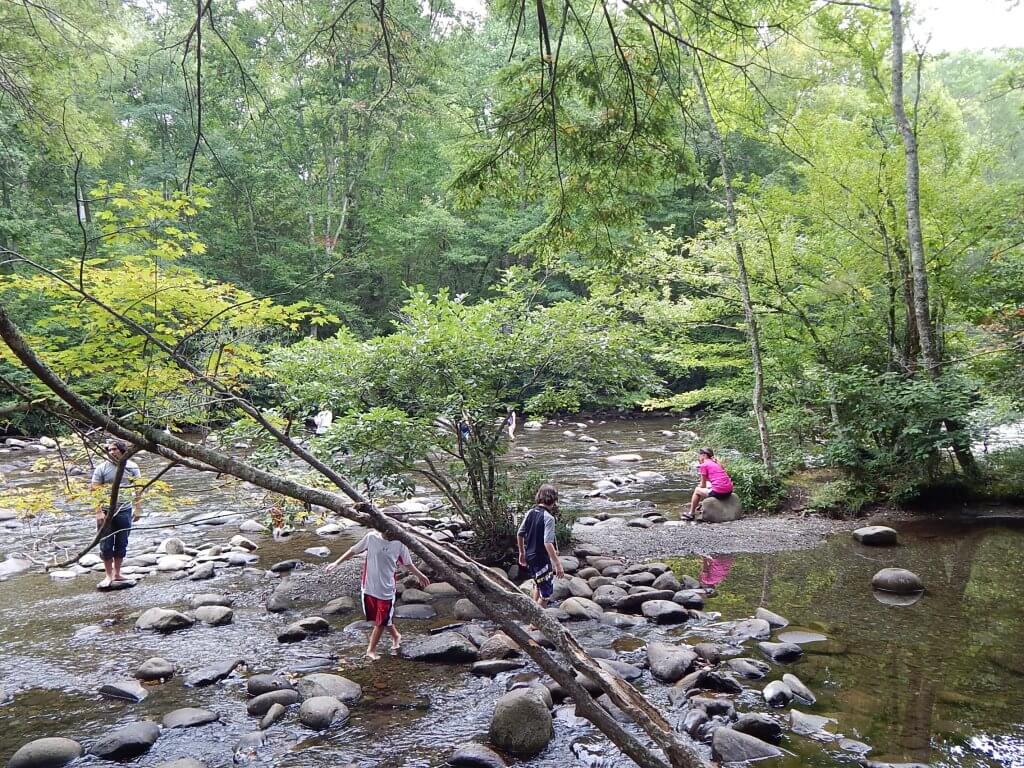
Along the road, you will spot a variety of different natural and manmade structures. You’ll pass the trailhead to the Laurel Falls trail. About 10 miles into the drive, you’ll see the Metcalf Bottoms Picnic Area. If you’re able, you can stop and enjoy a picnic in the afternoon. You may even be able to see some wildlife during your afternoon picnic! From the picnic area, you can see the Little Greenbrier Schoolhouse.
Once you get back on Little River Road, you’ll come up to the Townsend Y, a popular swimming hole for visitors and locals. Then, later on the road, you can make a stop at the Great Smoky Mountains Institute at Tremont.
In addition to these great stopping points, this road shows you some of the best of the Great Smoky Mountains National Park. You can really see the beauty of the forest and mountainside and you also have a really great chance to see wildlife like the Smoky Mountain Black Bear. You can’t go wrong with this Smoky Mountain driving tour.“
What are Laurel Falls and Metcalf Bottoms? Glad you asked:
Laurel Falls
The moderate 2.6 mile trail to Laurel Falls is one of the Park’s most traveled waterfall hikes in the Smokies. The trail divides the waterfall in two. At the top, Laurel Branch bursts from a grove of rhododendron, or “laurel” as it was called by early settlers, and falls nearly 50 feet to collect in a pool perfect for soaking tired feet. The falls continues on from that pool for about 35 feet before reaching the bottom.
See more on Laurel Falls at https://www.nps.gov/grsm/planyourvisit/laurel-falls.htm.
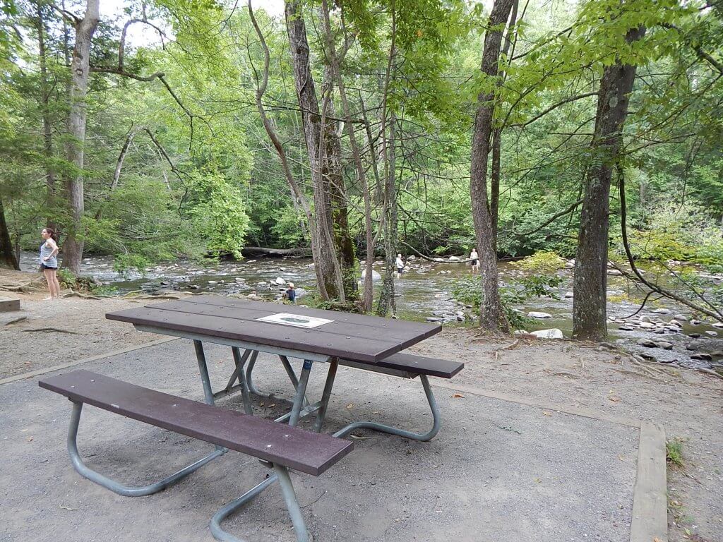
Metcalf Bottoms Picnic Area
Once a family farm, Metcalf Bottoms is now a large picnic area with plenty of space along the rich bottomland by the river. There are 122 picnicking spots at Metcalf Bottoms that have barbecue grills and tables and are available on a first-come first-serve basis split between both sides of Wear Gap Rd. There are restroom facilities and drinking water fountains onsite and the Metcalf Bottoms trail head nearby.
See more on Metcalf Bottoms at https://mysmokymountainguide.com/gsmnp/metcalf-bottoms-picnic-area/.
